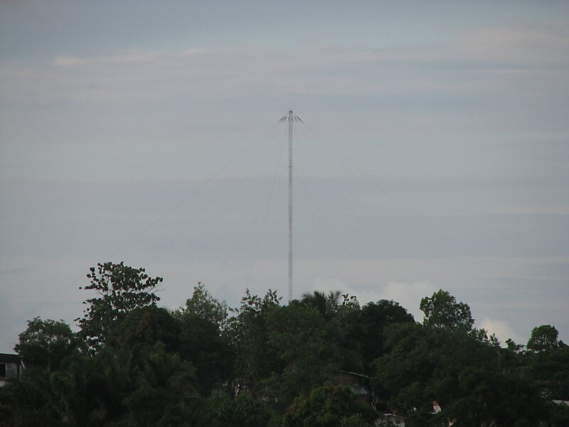
OMEGA was the first global-range radio navigation system, operated by the United States in cooperation with six partner nations. It was a hyperbolic navigation system, enabling ships and aircraft to determine their position by receiving very low frequency radio signals in the range 10 to 14 kHz, transmitted by a global network of eight fixed terrestrial radio beacons, using a navigation receiver unit. It became operational around 1971 and was shut down in 1997 in favour of the Global Positioning System.
Download Download See moreWikipedia https://en.wikipedia.org/wiki/Omega_(navigation_system)
Address (Unnamed Road), 58458, United States
Coordinates 46°21'57.64" N -98°20'8.253" E