Punchbowl Formation

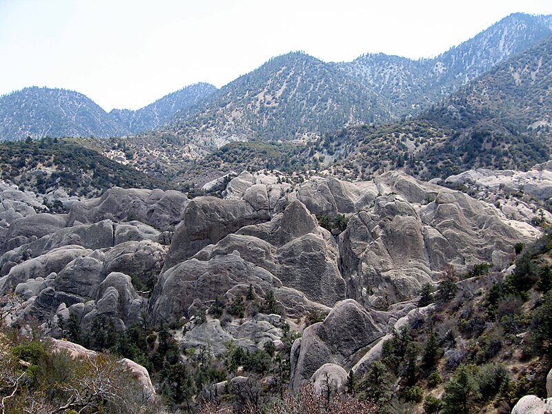
Local nameDevil's Punchbowl
LocationLos Angeles County, California, United States

The Punchbowl Formation is a sedimentary sandstone geologic formation in the northern San Gabriel Mountains, above the Antelope Valley in Los Angeles County, southern California.

Tags Rock
Download Download See more

More information and contact

Wikipedia https://en.wikipedia.org/wiki/Punchbowl_Formation

Address 93563, United States

Coordinates 34°24'39.76" N -117°51'21.904" E

Sygic Travel - A Travel Guide in Your Pocket

Download for free and plan your trips with ease
Or just search for "Sygic Travel" in App Store or Google Play.
Sygic Travel Maps The world's first map app tailored for travelers
Use the app Not now