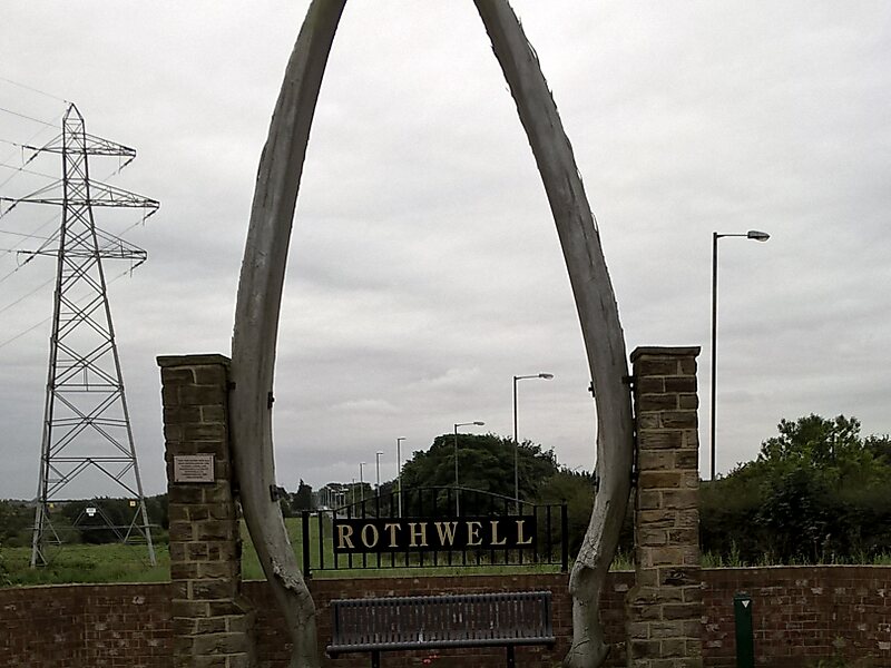
Rothwell is a town in the south-east of the City of Leeds metropolitan borough in West Yorkshire, England. It is situated between Leeds and Wakefield.
It is in the Rothwell ward of Leeds City Council and Elmet and Rothwell parliamentary constituency. Rothwell is part of the West Yorkshire Urban Area.
Rothwell had a population of 21,010 in the 2001 census, and the Rothwell ward has an estimated population of 32,365. At the 2011 census the ward had a population of 20,354. The town is close to the A1/M1 link road and the Stourton park and ride. The nearest railway station is Woodlesford.
Wikipedia https://en.wikipedia.org/wiki/Rothwell,_West_Yorkshire
Coordinates 53°44'57.783" N -1°28'41.344" E