Santa Anita is a district of the Lima Province in Peru. It is part of city of Lima.
Officially established as a district on October 25, 1989, from parts of Ate and El Agustino separated by the Rio Surco, a ditch which went all the way to Santiago de Surco.
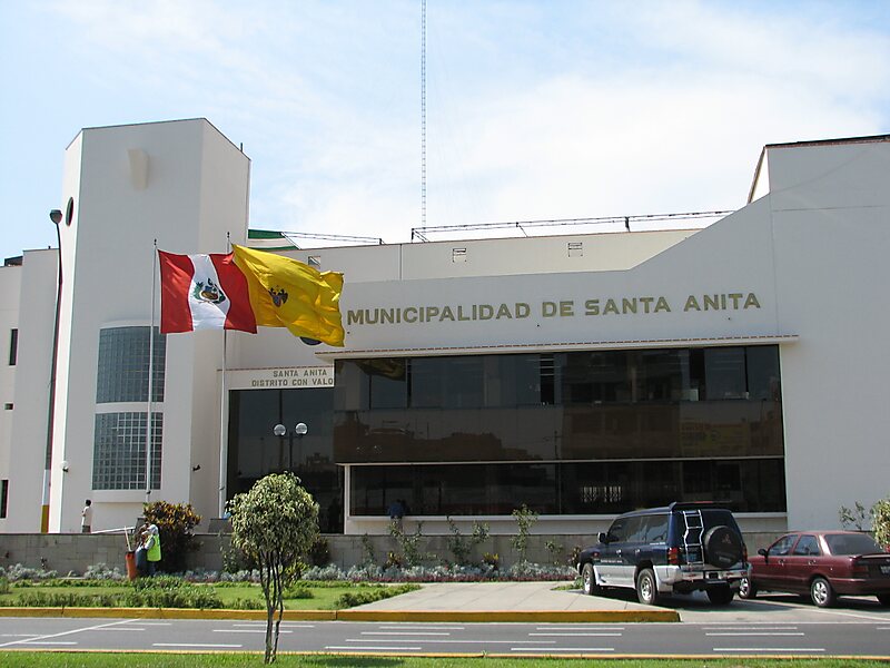
The current mayor of Santa Anita is José Luis Nole. The district's postal code is 43.
The core sections of Santa Anita are: Santa Anita proper, originally a section of Ate; and Los Ficus and Universal, originally sections of El Agustino. Industrial areas to the east of Santa Anita and Universal mark the boundary with Ate.
Wikipedia https://en.wikipedia.org/wiki/Santa_Anita_District
Coordinates -12°2'57.893" N -76°57'52.473" E