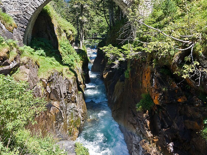
Pont d'Espagne is a stone-built bridge that spans the Gave de Marcadau at the point where it meets the Gave de Gaube, near one of its sources high in the French Pyrenees. It is a protected area of the Pyrénées in the Pyrénées National Park.
The Pont d'Espagne is at an altitude of approx 1500m. The name translates as Spanish Bridge. The bridge used to join Spain and France through the mountains.
Google Satellite Map
Wikipedia https://en.wikipedia.org/wiki/Pont_d'Espagne
Lourdes Tourist Office http://www.lourdes-infotourisme.com/web/EN/420-pont-d-espagne.php
Address Pyrénées National Park, 65110 Cauterets, France
Coordinates 42°51'3.325" N -0°8'23.43" E