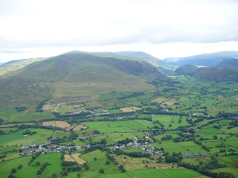
St John’s in the Vale is a glacial valley in the Lake District National Park, Cumbria, England. Within the vale are a number of farms and small settlements, in addition to several disused quarry and mining works. St John’s Beck meanders northward along the floor of the vale, and is the main outflow from Thirlmere reservoir, which is located to the south. Alongside the beck runs the B5322, St John’s in the Vale Road.
The vale is in the heart of the northern Lake District and is surrounded by many of the most striking of the Lakeland fells. It runs from south to north, set between the rocky flanks of Clough Head to the east and the neighbours High Rigg and Low Rigg to the west. The southern end of the vale is a narrow pass between High Rigg and Great Dodd, just to the north of the small settlement of Legburthwaite.
Wikipedia https://en.wikipedia.org/wiki/St_John's_in_the_Vale
Coordinates 54°35'33.402" N -3°3'42.206" E