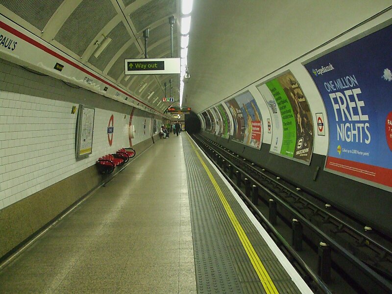
St Paul's is a London Underground station located in the City of London financial district. The station, which takes its name from the nearby St Paul's Cathedral, is on the Central line, between Bank and Chancery Lane stations, and is in fare zone 1.
It should not be confused with City Thameslink railway station which opened in 1990 with the name St. Paul's Thameslink, but is some distance from the Underground station. That station was subsequently renamed City Thameslink to avoid confusion for the emergency services, but for some years afterwards many maps and guidebooks in circulation continued to carry the earlier name.
Wikipedia https://en.wikipedia.org/wiki/St._Paul's_tube_station
Address 81 King Edward Street, City of London EC4M 7, United Kingdom
Coordinates 51°30'55.51" N -0°5'55.436" E