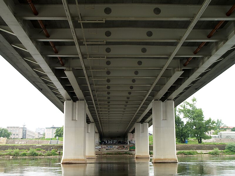
The Świętokrzyski Bridge is a bridge over the Vistula river in Warsaw, Poland linking Powiśle neighbourhood with Praga Północ district.
It is a cable-stayed bridge, 479 m long, with two lanes for vehicles, a pavement and a cycle path each way. The single tower, 90 m high, located on the right river bank, has 48 cables attached supporting the deck. Near the left bank the bridge is supported by two piers.
The bridge was opened on 6 October 2000 after two years' construction.
Wikipedia https://en.wikipedia.org/wiki/Świętokrzyski_Bridge
Address Most Świętokrzyski, Warszawa 03-724, Poland
Coordinates 52°14'31.053" N 21°2'3.987" E