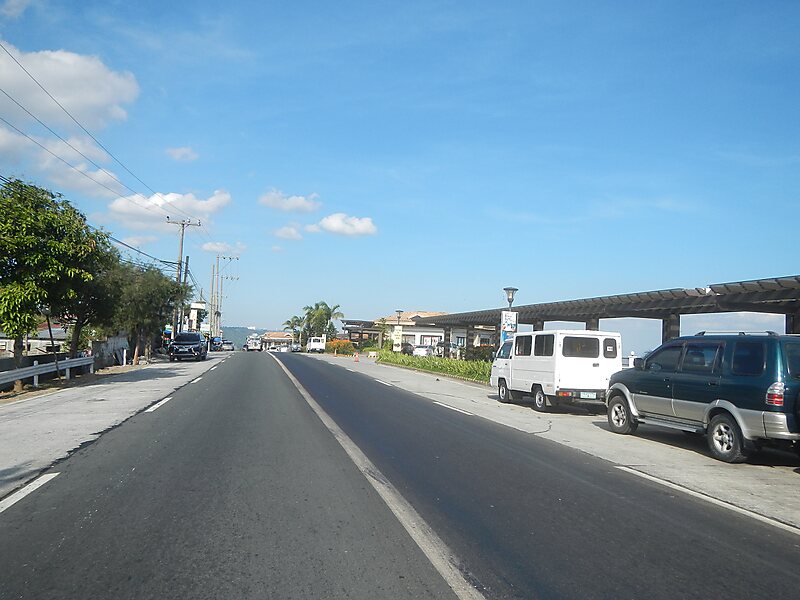
The Tagaytay–Nasugbu Highway, alternatively known as Tagaytay–Nasugbu Road and formerly as Tagaytay–Tuy–Nasugbu Port Road, is a 43.86-kilometer, two-to-four lane, secondary highway in the provinces of Cavite and Batangas, Philippines, that connects the city of Tagaytay in Cavite and the municipality of Nasugbu in Batangas.The entire road forms part of National Route 410 from Tagaytay to Calaca and National Route 407 of the Philippine highway network from Calaca to Nasugbu.
Download Download See moreWikipedia https://en.wikipedia.org/wiki/Tagaytay–Nasugbu_Highway
Coordinates 14°3'36.478" N 120°42'23.625" E