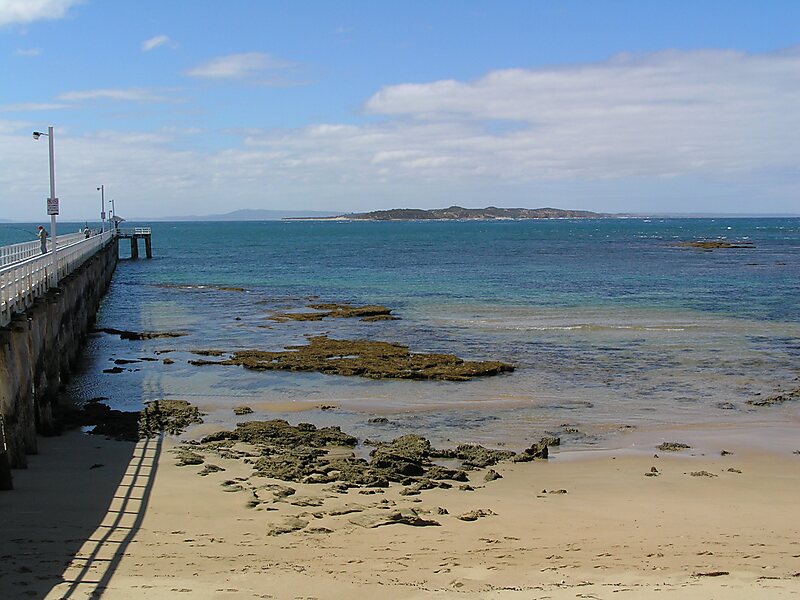
"The Rip", also known as "The Heads", is the narrow waterway entrance connecting the Bass Strait to the bay of Port Phillip in southern Victoria, Australia, and is the only route of maritime transport into Port Phillip and thus seaport access into Melbourne and Geelong, Victoria's two largest cities. Because of large tidal flows through the relatively narrow channel from the bay to the ocean, and a high rocky seabed, The Rip is a dangerous stretch of water and has claimed numerous ships and many lives. Geographically, it is the roughly triangular area of water between the land points of Point Nepean on the Mornington Peninsula, Shortlands Bluff and Point Lonsdale on the Bellarine Peninsula, with these three forming The Heads.
Download Download See moreWikipedia https://en.wikipedia.org/wiki/The_Rip
Coordinates -38°17'51.828" N 144°37'59.664" E