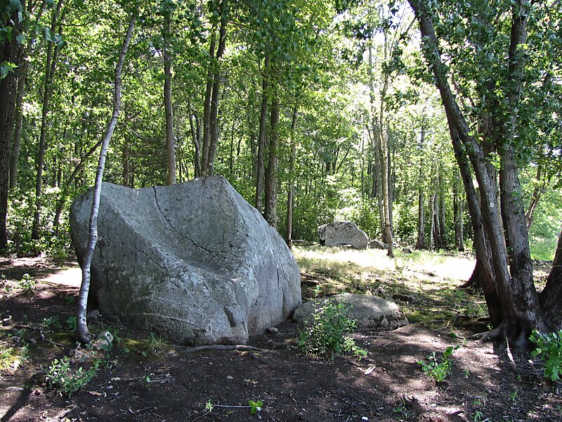
The Two Brothers Rocks–Dudley Road Historic District encompasses a historically significant rural area of Bedford and Billerica, Massachusetts. The district covers 230 acres of predominantly rural and residential property, along Dudley Street, a narrow, winding road that was laid out in colonial days. It also includes a significant amount of conservation land, including local, state, and federal lands. The federal lands of the Great Meadows National Wildlife Refuge which line the banks of the Concord River, include the "Two Brothers Rocks", which were used to mark a land boundary between grants given to early Massachusetts Bay Colony governors John Winthrop and Thomas Dudley, and which featured as boundary markers into the 20th century.
The two large rocks were inscribed with the year 1638 and the names Dudley and Winthrop by a descendant of Dudley's named Dudley Leavitt Pickman, as noted in the Bedford Town Report in 1889.
Wikipedia https://en.wikipedia.org/wiki/Two_Brothers_Rocks–Dudley_Road_Historic_District
Address Bedford 01730, United States
Coordinates 42°30'54.531" N -71°18'19.905" E