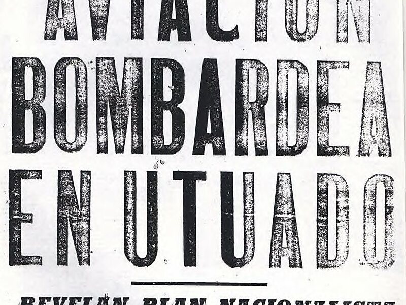
Utuado is a town and municipality of Puerto Rico located in the central mountainous region of the island known as La Cordillera Central. It is located north of Adjuntas and Ponce; south of Hatillo and Arecibo; east of Lares; and west of Ciales and Jayuya. In land area it is the third-largest municipality in Puerto Rico. According to the 2020 US Census, the city has a population of 28,287 spread over 24 barrios and Utuado pueblo. The name Utuado derives from the Taíno word otoao, meaning between mountains. The municipality is known as Ciudad del Viví, derived from the Viví River which runs through Utuado: one river branch comes from Adjuntas and the other from Jayuya. These two rivers then meet near the Fernando L. Ribas Dominicci Avenue and continue the journey to Lago Dos Bocas.
Utuado is the main municipality of the Utuado micropolitan statistical area and is part of the San Juan-Caguas-Fajardo Combined Statistical Area.

Wikipedia https://en.wikipedia.org/wiki/Utuado,_Puerto_Rico
Coordinates 18°15'55.281" N -66°41'59.782" E