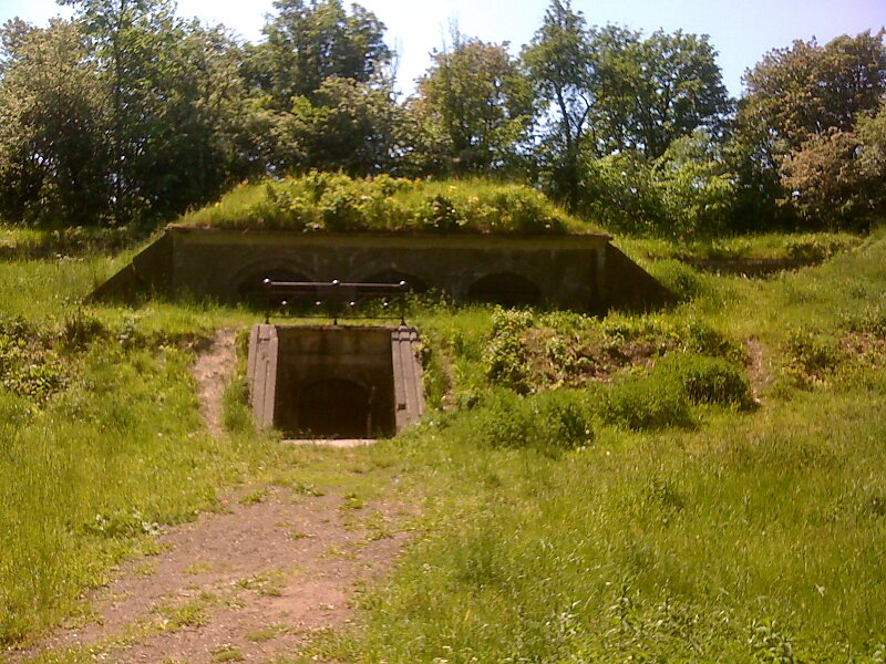
Vestvolden is a rampart complex west of Copenhagen, Denmark. Stretching approximately 14 kilometres from Avedøre in the south to Utterslev Mose in the north, it is part of the last generation of land fortifications of the city. Built in the period 1888–1892 by up to 2,000 workers, it was the largest construction project of its time in Denmark. Vestvolden was divided into two fortifications end to end, the southern one named Vestenceinten and the northern, much shorter one named Husumenceinten; the name Vestvolden emerged as an informal collective term for the two.
Download Download See moreWikipedia https://en.wikipedia.org/wiki/Vestvolden
Official Website http://www.befaestningen.dk/besog/vestvolden
Coordinates 55°41'47.57" N 12°26'40.196" E