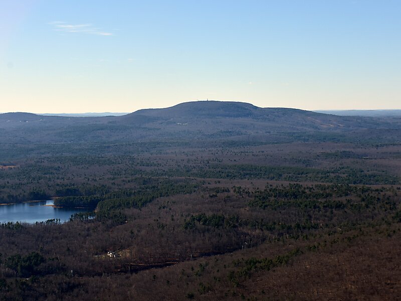
Mount Wachusett is a mountain in Massachusetts. It straddles towns of Princeton and Westminster, in Worcester County. It is the highest point in Massachusetts east of the Connecticut River. The mountain is named after a Native American term meaning "near the mountain" or "mountain place". The mountain is a popular hiking and skiing destination. An automobile road, open spring to fall, ascends to the summit. Views from the top of Mount Wachusett include Mount Monadnock to the north, Mount Greylock to the west, southern Vermont to the northwest, and Boston to the east. The mountain is traversed by the 92 mi Midstate Trail. It is also home to the Wachusett Mountain State Reservation.
A band of old growth forest along rock ledges 500 feet below the summit supports trees from 150 to 370 years old. Covering 220 acres, it is the largest known old growth forest east of the Connecticut River in Massachusetts.
Wikipedia https://en.wikipedia.org/wiki/Mount_Wachusett
Address (Unnamed Road), 01541, United States
Coordinates 42°29'20.603" N -71°53'12.639" E