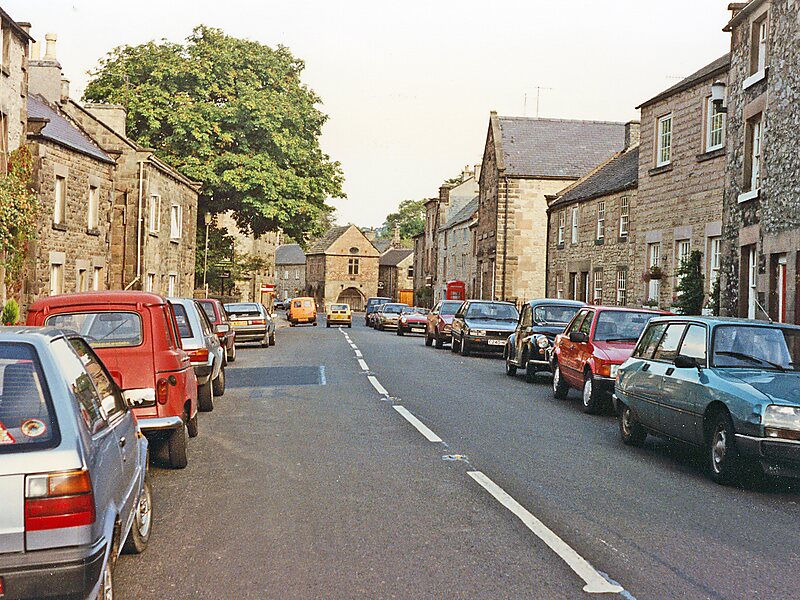
Winster is a village in the English Derbyshire Dales about 5 miles from Matlock and 6 miles from Bakewell at an altitude of approximately 820 feet. It was formerly a centre for the lead mining industry. The village lies within the Peak District National Park and The Peak District Boundary Walk runs through the village. Winster has many listed buildings, including the Market House open daily as a National Trust information point. Its current population is about 630, though it was 600 at the 2011 Census. The village has a primary school, two churches, two pubs and a village shop which includes a post office. Winster was mentioned in the Domesday Book in 1086 when it was owned by Henry de Ferrers.A workhouse at Bank Top was opened in 1744. It had a rule that forbade any relief outside of the workhouse. By the 1770s it could house 40 inmates.Winster Market House was the National Trust's first property in the Peak District and was acquired in 1906.
Download Download See moreWikipedia https://en.wikipedia.org/wiki/Winster
Coordinates 53°8'28.855" N -1°38'33.814" E