Wyoming Highway 51

Local name
LocationWyoming

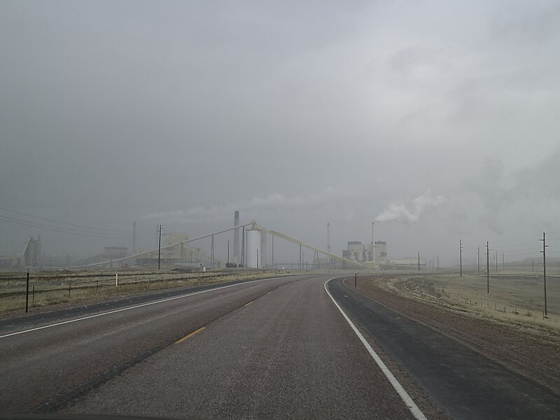
Wyoming Highway 51 is a 24.79-mile long east-west Wyoming state highway located in Campbell and Crook Counties, between Gillette and Moorcroft.

Tags Bridge
Download Download See more
 

More information and contact

Wikipedia https://en.wikipedia.org/wiki/Wyoming_Highway_51

Address 13191 State Highway 51, 82718, United States

Coordinates 44°17'1.939" N -105°23'16.717" E

Tripomatic - A Travel Guide in Your Pocket

Download for free and plan your trips with ease
Or simply search for Tripomatic in the App Store or Google Play.
Tripomatic Maps The world's first map app tailored for travelers
Use the app Not now