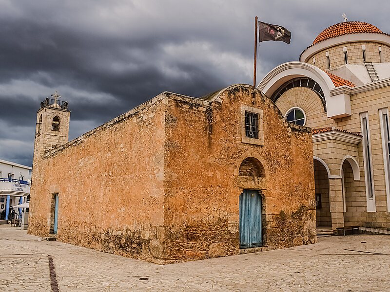
Xylofagou is a sprawling Greek-Cypriot village situated close to the A3 Motorway between Dhekelia and Paralimni / Agia Napa. It lies on the northern flank of a hill, on the edge of an area of a group of several similar villages known as the "Kokkinochoria", known for growing vegetables, especially potatoes, in red soil.
Download Download See moreWikipedia https://en.wikipedia.org/wiki/Xylofagou
Coordinates 34°58'38.037" N 33°50'57.11" E