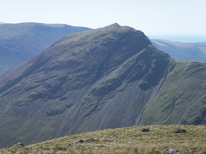
Yewbarrow is a fell, in the English Lake District, which lies immediately north of the head of Wast Water. It is 628 metres high and in shape resembles the upturned hull of a boat or a barrow. Yewbarrow is on the left in the classic view of Great Gable and Wast Water.
The top of Stirrup Crag forms a second summit 616 metres high, half a mile north of the main summit. The Hewitt and Nuttall lists classify the Yewbarrow North Top as a separate summit.
The name is derived from the past prevalence of yew trees on the fell and its "barrow" shape.
Wikipedia https://en.wikipedia.org/wiki/Yewbarrow
Address CA20 1, United Kingdom
Coordinates 54°27'53.427" N -3°16'37.033" E