Zemplínska šírava (sometimes called the "Slovak sea". is a dam and lake in eastern Slovakia, near the town of Michalovce, wholly belonging to the Michalovce District. The name recalls the historical Zemplín region. The dam was built in 1961–1965, covers an area of 33 km2, has an average depth of 9.5 m, with a maximum depth of 14 m. Water from the dam flows into the Laborec river, which in turn flows into the Bodrog river. The area is primarily used for recreation. It also supplies cooling water for the Vojany Power Station.
Download Download See more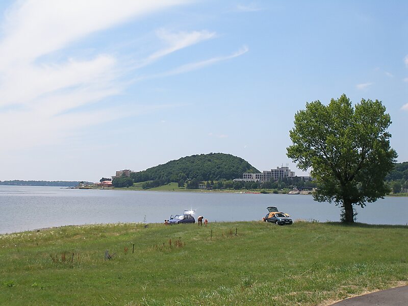
Wikipedia https://en.wikipedia.org/wiki/Zemplínska_šírava
Address 07234, Slovakia
Coordinates 48°46'53.519" N 22°2'23.813" E

