Zoutleeuw is a municipality and city in the Hageland, in the extreme east of the Belgian province of Flemish Brabant. On 1 January 2018 the municipality had 8,498 inhabitants. The total area is 46.73 km2, giving a population density of 182 inhabitants per km2.
The name Leeuw means "lion", to which Zout was added from the 16th century in recognition of the town's right to levy a salt tax.
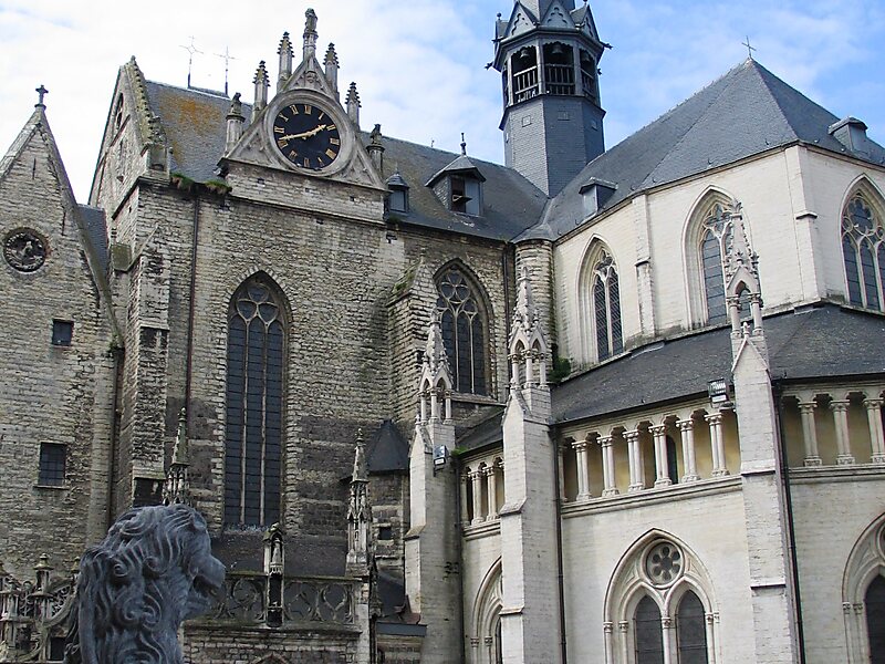
In 1999, UNESCO included the historical St. Leonard's Church as part of the World Heritage Site Belfries of Belgium and France.
Wikipedia https://en.wikipedia.org/wiki/Zoutleeuw
Official Website https://www.zoutleeuw.be/
Coordinates 50°49'59.51" N 5°6'11.157" E