Arunachal Pradesh is a disputed territory between China and India. It was formed from the North-East Frontier Agency region, and India declared it as a state on 20 February 1987. Itanagar is its capital and largest town. It borders the Indian states of Assam and Nagaland to the south.
Download Download See more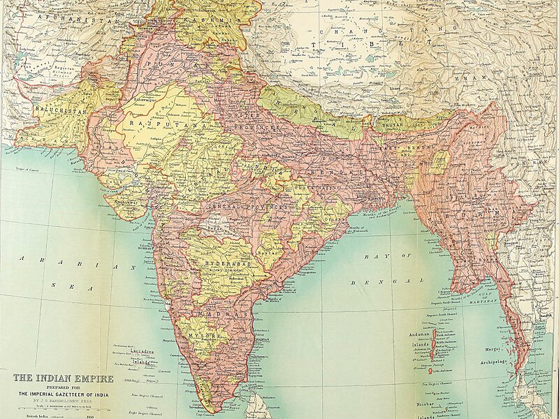
Wikipedia https://en.wikipedia.org/wiki/Arunachal_Pradesh
Coordinates 27°5'52.677" N 93°37'25.425" E

