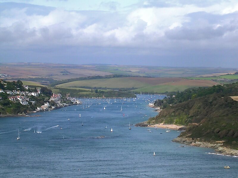
The Kingsbridge Estuary in the South Hams area of Devon, England runs from Kingsbridge in the north to its mouth at the English Channel near Salcombe and lies between Bolt Head and Sharpitor to the west and Portlemouth Down to the east. The estuary is some 8.6 kilometres in length, with numerous side channels. Several of its creeks have independent names, including Blanksmill, Frogmore, Southpool, Batson and Bowcombe Creek.
It covers an area of 674ha of which 446 ha are inter-tidal. At high water the length of coast within the ria is 48.6 kilometres. Although there are no major water courses entering the estuary, its total catchment area is 6,800 hectares.
Wikipedia https://en.wikipedia.org/wiki/Kingsbridge_Estuary
Coordinates 50°13'55.056" N -3°45'58.345" E

