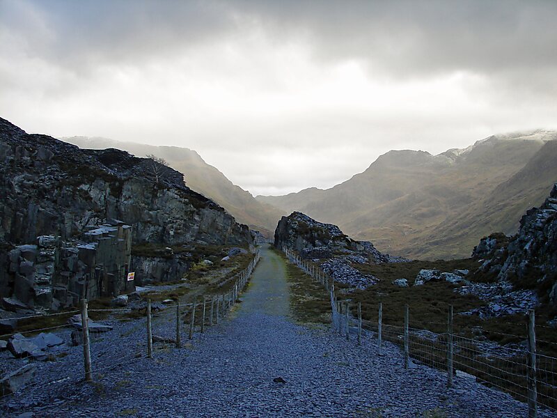
Snowdonia, or Eryri, is a mountainous region and national park in North Wales. It contains all 15 mountains in Wales over 3000 feet high, including the country's highest, Snowdon, which is 1,085 metres tall. These peaks are all part of the Snowdon, Glyderau, and Carneddau ranges in the north of the region. The shorter Moelwynion and Moel Hebog ranges lie immediately to the south.
The national park has an area of 823 square miles, and covers most of central and southern Gwynedd and the western part of Conwy County Borough. This is much larger than the area traditionally considered Snowdonia, and in addition to the five ranges above includes the Rhinogydd, Cadair Idris, and Aran ranges and the Dyfi Hills. It also includes most of the coast between Porthmadog and Aberdyfi.
Wikipedia https://en.wikipedia.org/wiki/Snowdonia
Official website http://www.snowdoniatourism.co.uk/
Email parc@snowdonia-npa.gov.uk
Phone +44 17 66 77 02 74
Address LL41 4, United Kingdom
Coordinates 52°53'56.265" N -3°51'7.492" E