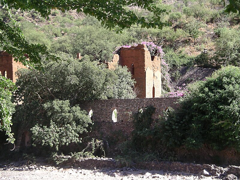
Batopilas is a small town, and seat of the surrounding municipality of the same name, in the Mexican state of Chihuahua, located along the Batopilas River at the bottom of the Batopilas canyon, part of the Copper Canyon. As of 2010, the town of Batopilas had a population of 1,220. Its elevation above sea level is 578 metres. The town is situated in a narrow valley, bordered by steep canyon walls. The government of Mexico declared it a Pueblo Mágico on October 19, 2012.Batopilas was a prominent silver-mining center from the early 18th to the early 20th century.
Download Download See moreWikipedia https://en.wikipedia.org/wiki/Batopilas,_Chihuahua
Address Calle Donato Guerra, Batopilas 33400, Mexico
Coordinates 27°1'34.514" N -107°44'23.258" E