
The Devils River in southwestern Texas, part of the Rio Grande drainage basin, has limited areas of whitewater along its length. It begins in northwest Sutton County, at 30°19′40″N 100°56′31″W, where six watercourses come together, Dry Devils River, Granger Draw, House Draw, Jackson, Flat Rock Draw, and Rough Canyon. It flows southwest for 94 miles through Val Verde County and empties into the northeastern shore of the Amistad Reservoir, an impoundment of the Rio Grande near Del Rio, Texas on the Texas/Mexico border, 29°27′33″N 101°3′34″W.
Download Download See more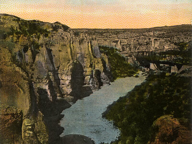
Wikipedia https://en.wikipedia.org/wiki/Devils_River_(Texas)
Official Website http://www.tpwd.state.tx.us/state-parks/devils-river
Phone +1 830 395 2133
Address 78840, United States
Coordinates 29°56'7.744" N -100°56'36.368" E
