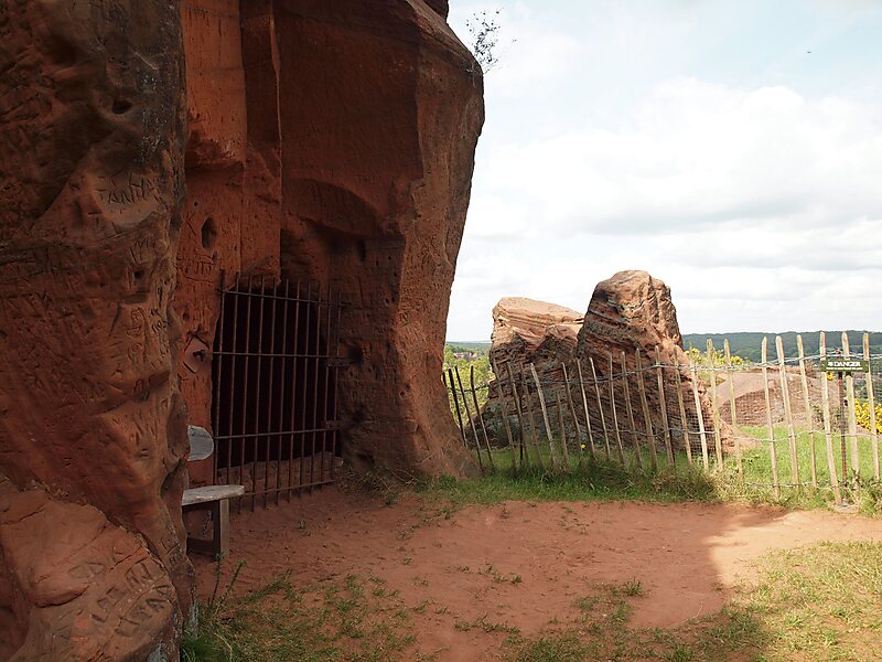
Kinver Edge is a high heath and woodland escarpment just west of Kinver, about four miles west of Stourbridge, and four miles north of Kidderminster, and is on the border between Worcestershire and Staffordshire, England. It is now owned by the National Trust.
Download Download See moreWikipedia https://en.wikipedia.org/wiki/Kinver_Edge
Official Website https://www.nationaltrust.org.uk/kinver-edge-and-the-rock-houses
Address DY11 5, United Kingdom
Coordinates 52°26'38.347" N -2°15'2.194" E