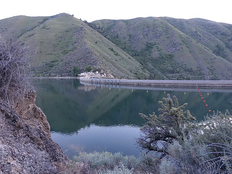
Arrowrock Dam is a concrete arch dam in the western United States, on the Boise River in southwestern Idaho, east of Boise. Opened 109 years ago in 1915, it is located on the border of Boise and Elmore counties, upstream of the Lucky Peak Dam and reservoir. The spillway elevation for Arrowrock is 3,219 feet above sea level and its primary purpose is to provide irrigation water for agriculture.
The dam was designated as a National Historic Civil Engineering Landmark by the American Society of Civil Engineers in 2016, and is operated by the U.S. Bureau of Reclamation.
Wikipedia https://en.wikipedia.org/wiki/Arrowrock_Dam
Phone +1 208 373 4007
Address Nat for Dev Road 268, Boise, ID 83716, USA
Coordinates 43°35'44.063" N -115°55'21.56" E