Coatepeque Caldera is a volcanic caldera in El Salvador in Central America. The caldera was formed during a series of rhyolitic explosive eruptions between about 72,000 and 57,000 years ago. Since then, basaltic cinder cones and lava flows formed near the west edge of the caldera, and six rhyodacitic lava domes have formed. The youngest dome, Cerro Pacho, formed after 8000 BC.
Download Download See more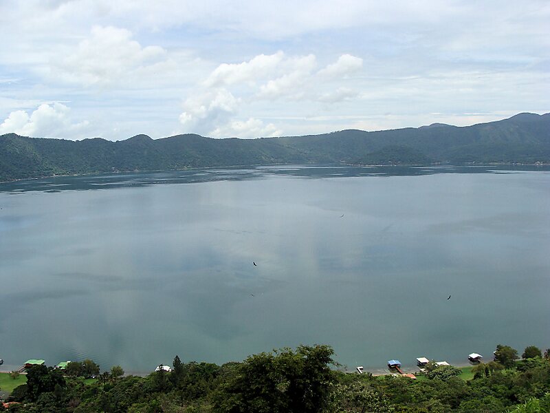
Wikipedia https://en.wikipedia.org/wiki/Coatepeque_Caldera
Address El Salvador
Coordinates 13°51'51.453" N -89°32'48.777" E

