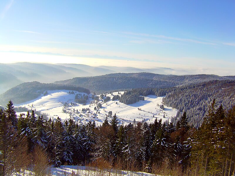
The Hochkopf is a wooded ridge north of the village of Todtmoos in the southern part of the High Black Forest. At 1,263.4 m above sea level its summit is one of the 20 highest points in the German state of Baden-Württemberg.
The boundary between Todtmoos and the village of Präg in the borough of Todtnau runs over the mountain. The Hochkopf forms an east-west mountain ridge that forms the southern side of the Präg Cirque. Above the walls of the cirque the mountain ridges are as sharp as aretes in places.
The region around the Hochkopf is especially quiet and peaceful. On the summit of the Hochkopf a small observation tower, the Hochkopf Tower was built in 1925.
Wikipedia https://en.wikipedia.org/wiki/Hochkopf_(Southern_Black_Forest)
Address 79682, Germany
Coordinates 47°46'1.693" N 7°59'13.793" E