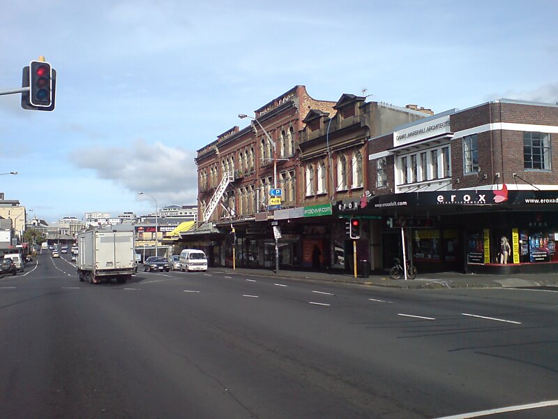
Karangahape Road is one of the main streets in the central business district of Auckland, New Zealand. The massive expansion of motorways through the nearby inner city area – and subsequent flight of residents and retail into the suburbs from the 1960s onwards – turned it from one of Auckland's premier shopping streets into a marginal area with the reputation of a red light district. Now considered to be one of the cultural centres of Auckland, since the 1980s–1990s it has been undergoing a slow process of gentrification, and is now known for off-beat cafes and boutique shops.
It runs west–east along a ridge at the southern edge of the Auckland CBD, perpendicular to Queen Street, the city's main street. At its intersection with Ponsonby Road in the west, Karangahape Road becomes Great North Road, at its eastern end it connects to Grafton Bridge.
Wikipedia https://en.wikipedia.org/wiki/Karangahape_Road
Official website http://www.kroad.com/
Twitter https://twitter.com/KRoadNZ
Facebook https://www.facebook.com/KRoadNZ
Address 191 Karangahape Road, Auckland 1010, New Zealand
Coordinates -36°51'27.747" N 174°45'35.651" E

