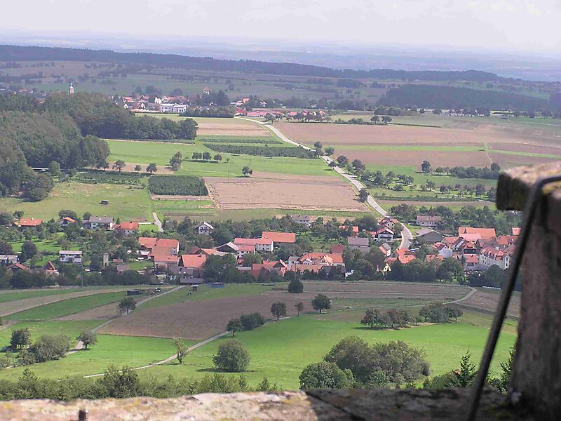
The Katzenbuckel is an extinct volcano and the highest elevation in the Odenwald region. The mountain is located eastwards of Eberbach, near the village of Waldbrunn. At the top of the Katzenbuckel is an 18-m-high lookout, built out of sandstone. If the weather is good, it is possible to see the Donnersberg and the surrounding secondary mountains. When the view is exceptionally clear, it is theoretically possible to see the Kreuzberg in the Rhön. It translates directly into 'cat hump'.
Download Download See moreWikipedia https://en.wikipedia.org/wiki/Katzenbuckel
Address 69429, Germany
Coordinates 49°28'15.049" N 9°2'29.4" E