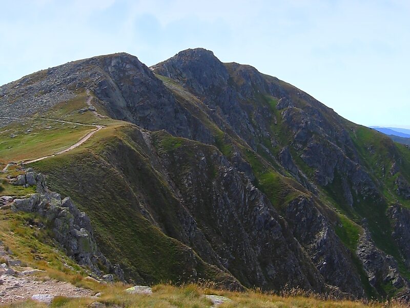
Low Tatras National Park is a national park in Central Slovakia, between the Váh River and the Hron River valleys. The park and its buffer zone cover the whole Low Tatras mountain range. The National Park covers an area of 728 km² and its buffer zone covers an area of 1,102 km², which makes it the largest national park in Slovakia.
It is divided between the Banská Bystrica Region, Žilina Region and Prešov Region. The highest peak is Ďumbier. Four major Slovak rivers rise below the Kráľova hoľa peak: Váh, Hron, Hnilec and Hornád.
Wikipedia https://en.wikipedia.org/wiki/Low_Tatras_National_Park
Official website http://www.napant.sk/
Email napant@sopsr.sk
Phone +421 44 522 28 75
Address 03212, Slovakia
Coordinates 48°56'59.644" N 19°30'0.781" E