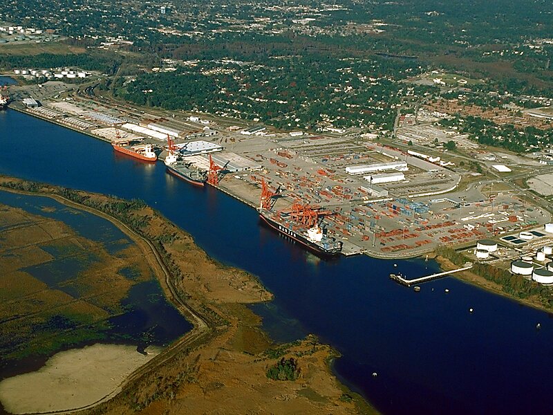
The Cape Fear River is a 191.08-mile-long blackwater river in east-central North Carolina. It flows into the Atlantic Ocean near Cape Fear, from which it takes its name. The river is formed at the confluence of the Haw River and the Deep River in the town of Moncure, North Carolina. Its river basin is the largest in the state: 9,149 sq mi.The river is the most industrialized river in North Carolina, lined with power plants, manufacturing plants, wastewater treatment plants, landfills, paper mills, and industrial agriculture. Relatedly, the river is polluted by various substances, including suspended solids and manmade chemicals. These chemicals include per- and polyfluoroalkyl substances, GenX, perfluorooctanesulfonic acid, perfluorooctanoic acid, byproducts of production of the fluoropolymer Nafion; and intermediates used to make other fluoropolymers. Industrial chemicals such as 1,4-Dioxane and other pollutants have been found in its tributary, the Haw River.
Download Download See more
Wikipedia https://en.wikipedia.org/wiki/Cape_Fear_River
Address 1015 Nutt St, Wilmington 28401, United States
Coordinates 34°15'1.462" N -77°56'57.736" E