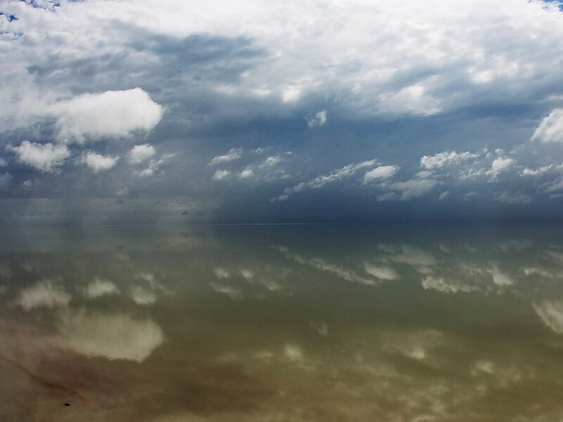
The Etosha pan is a large endorheic salt pan, forming part of the Cuvelai-Etosha Basin in the north of Namibia. It is a hollow in the ground in which water may collect or in which a deposit of salt remains after water has evaporated. The 120-kilometre-long dry lakebed and its surroundings are protected as Etosha National Park, Namibia's second-largest wildlife park, covering 22,270 km2. The pan is mostly dry but after a heavy rain it will acquire a thin layer of water, which is heavily salted by the mineral deposits on the surface.
Download Download See moreWikipedia https://en.wikipedia.org/wiki/Etosha_pan
Address Namibia
Coordinates -18°46'41.16" N 16°20'57.779" E