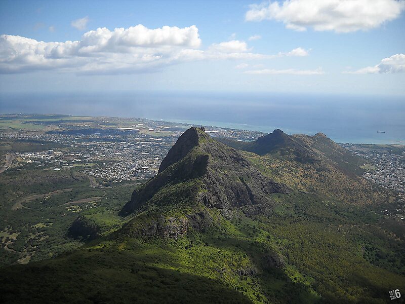
Le Pouce is the third highest mountain in Mauritius, at 812 meters. Only Piton de la Petite Rivière Noire and Pieter Both are taller. It is named Le Pouce because of the thumb-shaped peak of the mountain. It can be viewed from the capital of Mauritius, Port Louis, and is a popular hike for the view of the city. The mountain is in the Moka Range and is closest to the village of La Laura-Malenga in the Moka District. Charles Darwin ascended the mountain on 2 May 1836.
Download Download See moreWikipedia https://en.wikipedia.org/wiki/Le_Pouce
Address Mauritius
Coordinates -20°11'53.208" N 57°31'43.742" E