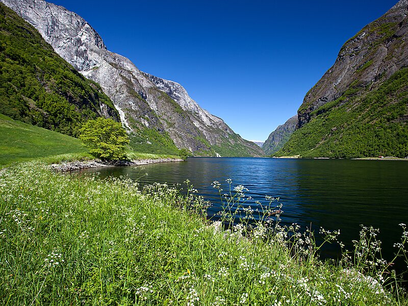
The Nærøyfjord is a fjord in Aurland Municipality in Vestland county, Norway. The narrow fjord is a branch of the large Sognefjord, and it is featured on the "Norway in a Nutshell" daytrips for tourists. The 18-kilometre long fjord is only 500 metres wide in some parts.The river Nærøydalselvi flows down the valley Nærøydalen into the fjord at the village of Gudvangen, near the European route E16 highway. The village of Bakka and the Bakka Church are both located on the west shore of the fjord.
Since 2005, the Nærøyfjord has been listed as a UNESCO World Heritage Site. It has also been rated by the National Geographic Society as the world's number one natural heritage site along with the Geirangerfjord.
Wikipedia https://en.wikipedia.org/wiki/Nærøyfjord
Official Website http://www.naeroyfjord.com/
Address (Unnamed Road), 5747, Norway
Coordinates 60°52'45.093" N 6°50'38.108" E