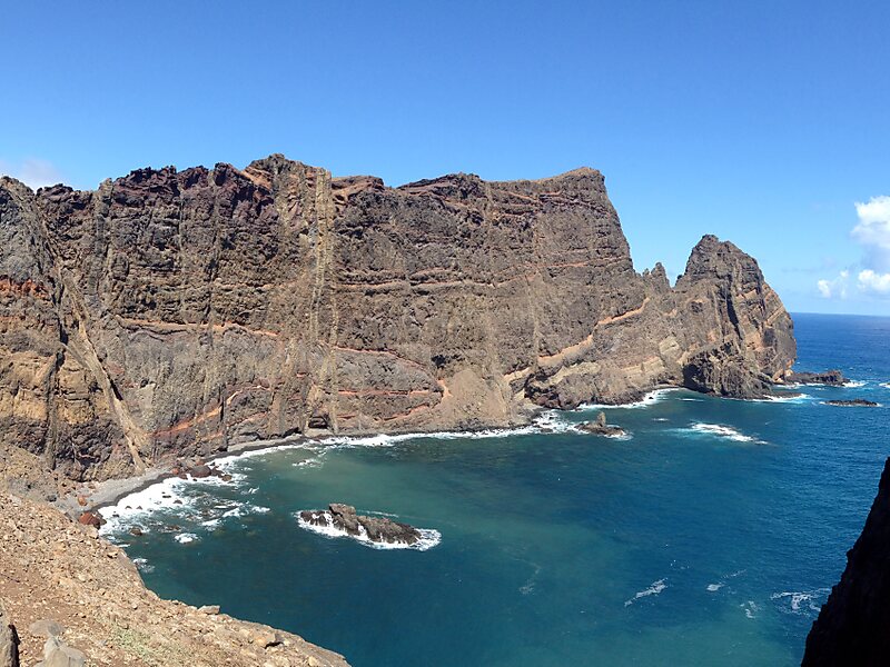
Ponta de São Lourenço is the easternmost point of the island of Madeira. It is inside the town of Caniçal and forms a part of the municipality of Machico. Its terrain are made up of rocks and herbaceous vegetation. Since 1982, the headland is a nature reserve, where it has the conservation of its endemic plants including Matthiola maderensis, Echium nervosum, and Andryala glandulosa, and it has fauna, including birds, insects, and molluscs. One of them is Monachus monachus, a seal. Marine fauna are in the waters surrounding the headland.
Northeast of the islet is Porto Santo, and southeast is Bugio and the Deserted Islands. Nearby are a few islets with the easternmost being Ilhéu do Farol, where its nearby lighthouse is located.
Wikipedia https://en.wikipedia.org/wiki/Ponta_de_São_Lourenço
Address Estrada Regional 109, 9200, Portugal
Coordinates 32°44'32.07" N -16°42'8.234" E

