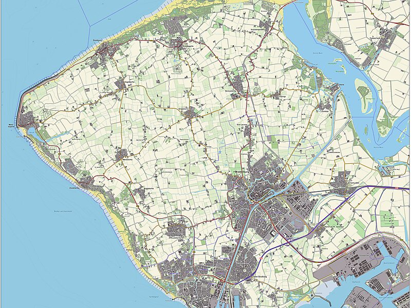
Walcheren is a region and former island in the Dutch province of Zeeland at the mouth of the Scheldt estuary. It lies between the Eastern Scheldt in the north and the Western Scheldt in the south and is roughly the shape of a rhombus. The two sides facing the North Sea consist of dunes and the rest of its coastline is made up of dykes. Middelburg, the provincial capital, lies at Walcheren's centre. Vlissingen, 9 kilometres to the south, is the main harbour and the third municipality is Veere.
Originally, Walcheren was an island, but the Sloedam, constructed in 1871 for a railway, and poldering after World War II have connected it to the island of Zuid-Beveland, which in turn has been connected to the North Brabant mainland.
Wikipedia https://uk.wikipedia.org/wiki/Валхерен
Address 4364, Netherlands
Coordinates 51°30'57.987" N 3°34'51.929" E