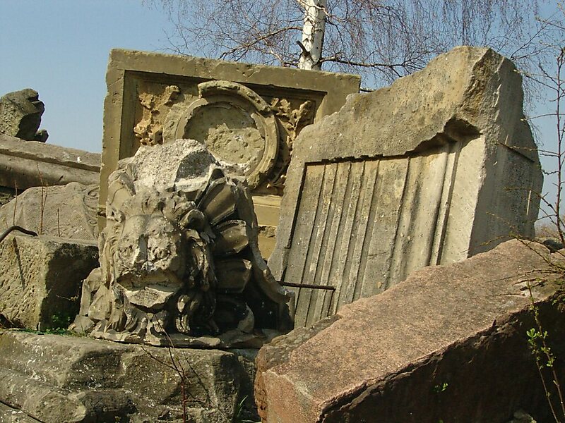
The Birkenkopf is a prominent hill in Stuttgart, Germany. At an elevation of 511m, is almost 260m higher than city centre. It is in part a Schuttberg, an artificial hill built from the ruins and rubble from World War II.
During the war, 53 Allied bombing missions destroyed over 45% of Stuttgart, and nearly the entire city center. Between 1953 and 1957, 1.5 million cubic meters of rubble were cleared and moved to the hill, which resulted in an increase in height of around 40 meters. At the summit there are many recognizable facades from ruined buildings.
Wikipedia https://en.wikipedia.org/wiki/Birkenkopf
Address (Unnamed Road), 70197, Germany
Coordinates 48°45'55.349" N 9°7'53.331" E