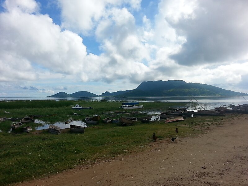
Lake Chilwa is the second-largest lake in Malawi after Lake Malawi. It is in eastern Zomba District, near the border with Mozambique. Approximately 60 km long and 40 km wide, the lake is surrounded by extensive wetlands. There is an island in the middle of the lake called Chisi Island.
The lake has no outlet, and the level of water is greatly affected by seasonal rains and summer evaporation. In 1968, the lake disappeared during exceptionally dry weather. When David Livingstone visited the lake in 1859, he reported that its southern boundary reached as far as the Mulanje Massif, which would have made the lake at least 32 kilometres longer than it is today.
Wikipedia https://en.wikipedia.org/wiki/Lake_Chilwa
Address Malawi
Coordinates -15°16'43.644" N 35°42'45.532" E