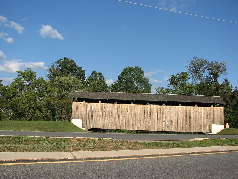
The Larkin Covered Bridge is a 60-foot-long, Burr truss wooden covered bridge that is located outside of Chester Springs, Chester County, Pennsylvania, near the village of Eagle. The bridge, which originally crossed over Marsh Creek, now spans a dry ditch and is a feature of the Upper Uwchlan Township trail system.
Download Download See moreWikipedia https://en.wikipedia.org/wiki/Larkin_Covered_Bridge_(Chester_Springs,_Pennsylvania)
Coordinates 40°4'56.932" N -75°41'8.085" E