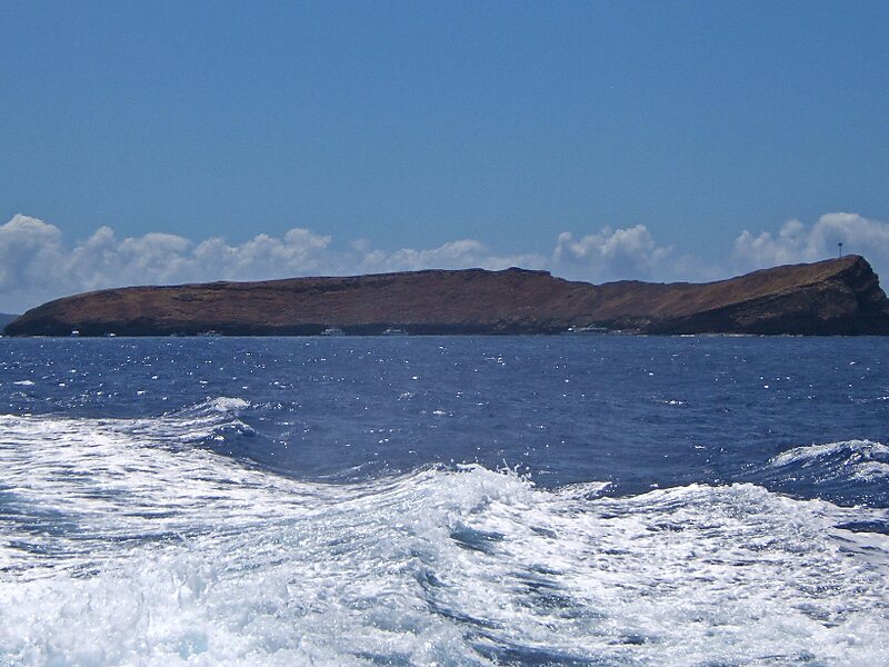
Molokini is a crescent-shaped, partially submerged volcanic crater which forms a small, uninhabited islet located in ʻAlalākeiki Channel between the islands of Maui and Kahoʻolawe, within Maui County in Hawaiʻi. It is the remains of one of the seven Pleistocene epoch volcanoes that formed the prehistoric Maui Nui island, during the Quaternary Period of the Cenozoic Era.
The islet has an area of 23 acres, a diameter of about 0.4 miles, is 161 feet at its highest point, and is located about 2.5 miles west of Makena State Park and south of Maʻalaea Bay. The islet is a Hawaiʻi State Seabird Sanctuary.
Wikipedia https://en.wikipedia.org/wiki/Molokini
Molokini Crater website http://molokinicrater.com/
Address United States
Coordinates 20°37'52.357" N -156°29'44.015" E