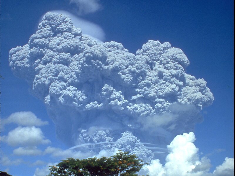
Mount Pinatubo is an active stratovolcano in the Zambales Mountains, located on the tripoint boundary of the Philippine provinces of Zambales, Tarlac and Pampanga, all in Central Luzon on the northern island of Luzon. Its eruptive history was unknown to most before the pre-eruption volcanic activity of early 1991. Pinatubo was heavily eroded and obscured from view by dense forests which supported a population of several thousand indigenous Aetas.
Pinatubo is most notorious for its VEI-6 eruption on June 15, 1991, the second-largest terrestrial eruption of the 20th century after the 1912 eruption of Novarupta in Alaska. Complicating the eruption was the arrival of Typhoon Yunya, bringing a lethal mix of ash and rain to towns and cities surrounding the volcano.

Wikipedia https://en.wikipedia.org/wiki/Mount_Pinatubo
Official Website http://www.trekkingpinatubo.com/
Phone +63 929 836 8022
Address Philippines
Coordinates 15°8'40.384" N 120°21'3.588" E