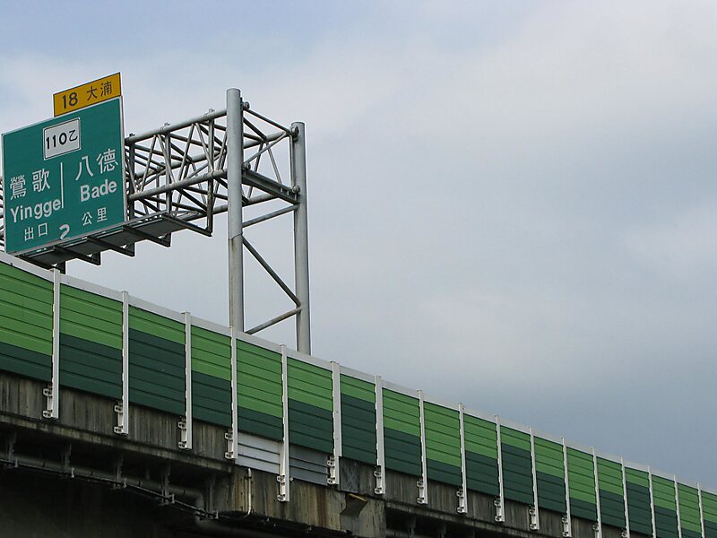
National Freeway 2 is a connector freeway in Taiwan that traverses the special municipalities of Taoyuan City and New Taipei City. The freeway begins at Taiwan Taoyuan International Airport in Dayuan District, Taoyuan City, traveling in a Northwest-Southeast direction along northern Taoyuan City and ends in Yingge at the junction with National Freeway 3. It is 20.4 km long.
The freeway was initially signed as National Freeway 1A from 1980-1997 before the highway was extended to its current eastern terminus in Yingge. The initial segment of the freeway, between Taipei Taoyuan International Airport and National Freeway 1 is commonly known as Airport Connector, while the segment between National Freeway 1 and National Freeway 3 is a part of the Taoyuan Ring Road.
Wikipedia https://en.wikipedia.org/wiki/National_Freeway_2
Address Taiwan
Coordinates 25°0'29.148" N 121°16'52.433" E