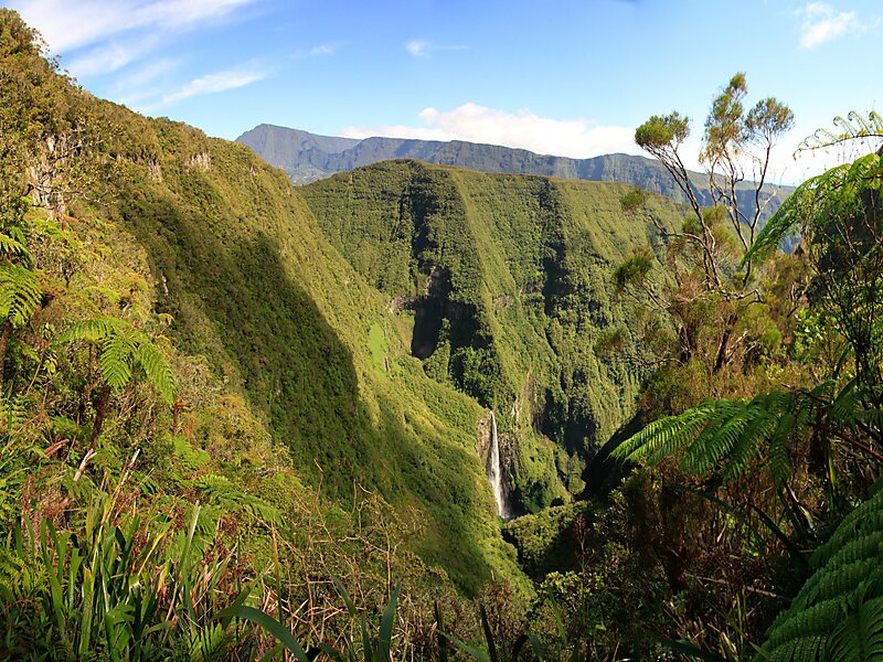
The Trou de Fer is a canyon on Reunion Island, off the coast of Madagascar in the Indian Ocean. The primary river flowing through the gorge, which is up to 300 m deep, is the Bras de Caverne River, a tributary of the Rivière du Mât. The canyon has two distinct parts: a large crater, which is fed by six prominent waterfalls, and a narrow slot canyon at its outlet, which constitutes most of the canyon's length. The canyon starts at the waterfall of the Bras Mazerine stream and after some 1.4 - 1.8 km from the left side joins the main Bras de Caverne stream.
The Bras de Caverne River enters the canyon with a waterfall about 200 m high. This drop is usually dry or has very little water, but between that and the next, 180-metre drop, springs feed the river, which drops over this then drops over a final 300-metre undercut cliff into the Trou de Fer in a narrow plume of water.
Wikipedia https://en.wikipedia.org/wiki/Trou_de_Fer
Address 97433, Réunion
Coordinates -21°2'17.312" N 55°33'11.179" E