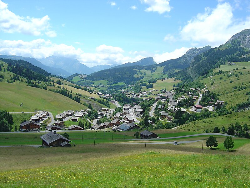
Col de la Colombière is a mountain pass in the Alps in the department of Haute-Savoie in France.
It connects Cluses in the Arve valley with Le Grand-Bornand in the Bourne valley. The road then leads further to Annecy or over Col des Aravis to the Arly valley and is situated between the Massif des Bornes to the north-west and the Chaîne des Aravis to the south-east.
The pass is not an important traffic route because there are better roads that parallel it, particularly the A40 autoroute.
Wikipedia https://en.wikipedia.org/wiki/Col_de_la_Colombière
Address Route de la Colombière, 74950, France
Coordinates 45°59'31.713" N 6°28'31.436" E