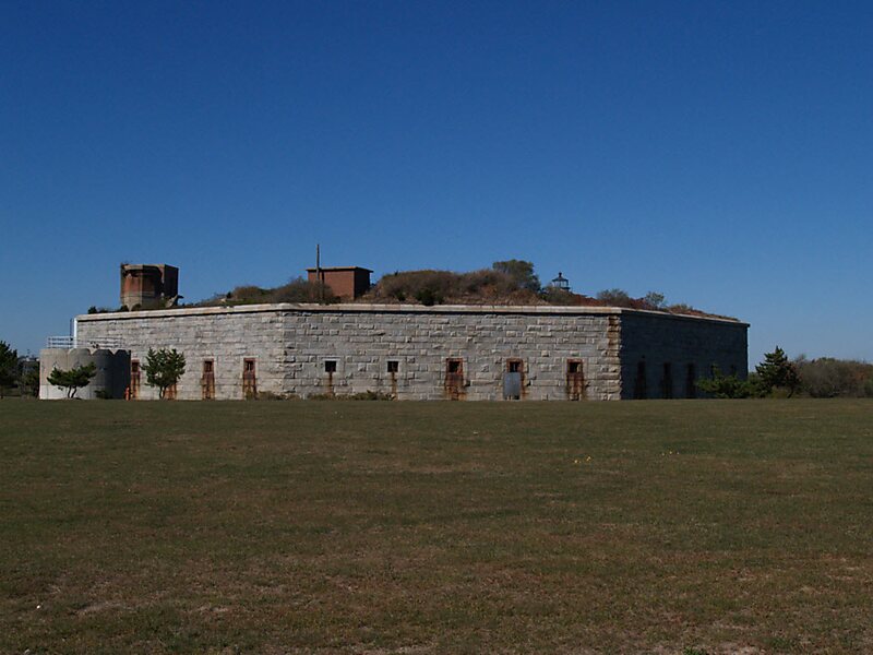
Fort Taber District or the Fort at Clark's Point is a historic American Civil War-era military fort on Wharf Road within the former Fort Rodman Military Reservation in New Bedford, Massachusetts. The fort is now part of Fort Taber Park, a 47-acre town park located at Clark's Point. Fort Taber was an earthwork built nearby with city resources and garrisoned 1861-1863 until Fort Rodman was ready for service.
Download Download See moreWikipedia https://en.wikipedia.org/wiki/Fort_Rodman
Official website http://forttaber.org/
Phone +1 508 994 3938
Address 1000 S Rodney French Boulevard, New Bedford, MA 02744, USA
Coordinates 41°35'41.039" N -70°54'11.034" E