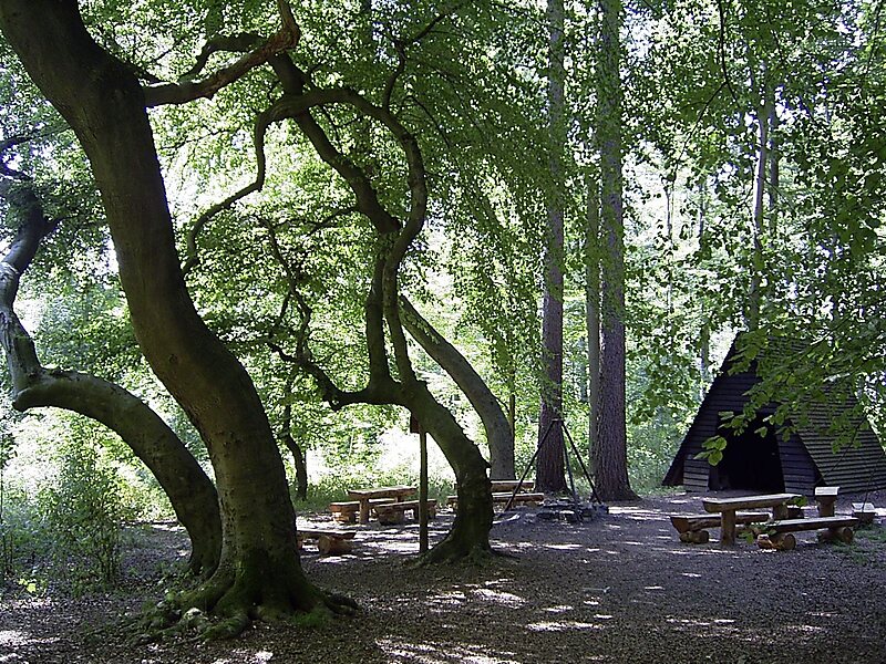
The Deister is a chain of hills in the German state of Lower Saxony, about 15 mi southwest of the city of Hanover. It runs in a north-westerly direction from Springe in the south to Rodenberg in the north. The next in the chain of hills to the south is the Kleiner Deister from which it is separated by the flat pass of the Deister Gate. It is surrounded by Springe, Wennigsen, Barsinghausen, Bad Nenndorf, Rodenberg and Bad Münder.
It has a total length of 21 km, and rises in the Hofeler to a height of 395 m. The highest point is the Bröhn at 405 m.
Wikipedia https://en.wikipedia.org/wiki/Deister
More information at Hannover.de http://www.hannover.de/en/content/view/full/616374
Address (Unnamed Road), 31832, Germany
Coordinates 52°15'2.383" N 9°29'56.008" E