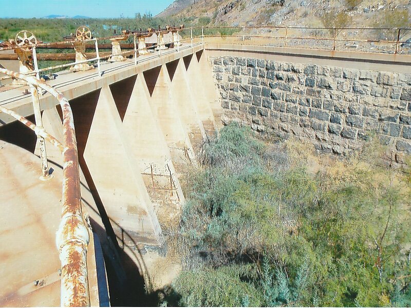
The Gillespie Dam is a concrete gravity dam located on the Gila River between the towns of Buckeye and Gila Bend, Arizona. The dam was constructed during the 1920s for primarily irrigation purposes. It was key to the development of a 72,000-acre parcel owned by "millionaire" W.S. Gillespie of Tulsa, Oklahoma, initially allowing for irrigation of 10,000 acres. A portion of the dam failed unexpectedly in 1993 during unusually heavy rains.
Download Download See moreWikipedia https://en.wikipedia.org/wiki/Gillespie_Dam
Coordinates 33°13'46.341" N -112°46'0.976" E