
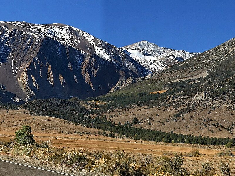
Koip Peak is a 12,968-foot-elevation summit in Mono County, California, in the United States. It is located in the Ansel Adams Wilderness, on land managed by Inyo National Forest. It is approximately 0.25 miles outside of Yosemite National Park's eastern boundary, and 1.0 mile west of Parker Peak.
Koip is derived from a Western Numic name meaning "mountain sheep". Bighorn sheep roam in the area.
Wikipedia https://en.wikipedia.org/wiki/Koip_Peak
Address 93529, United States
Coordinates 37°48'48.745" N -119°12'6.532" E
